Sydney
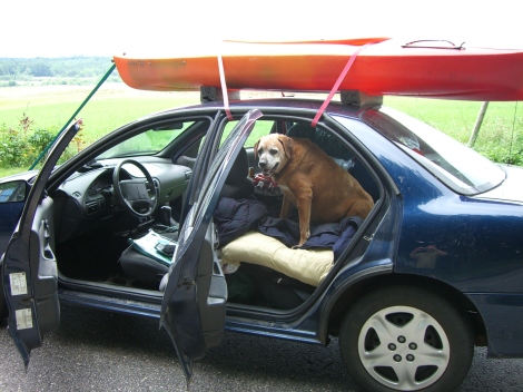
This travel blog is dedicated to a faithful companion who was always ready for an adventure
To read more, fasten your seat belts and click “here” !
.

Sydney
This travel blog is dedicated to a faithful companion who was always ready for an adventure
To read more, fasten your seat belts and click “here” !
.
Reese
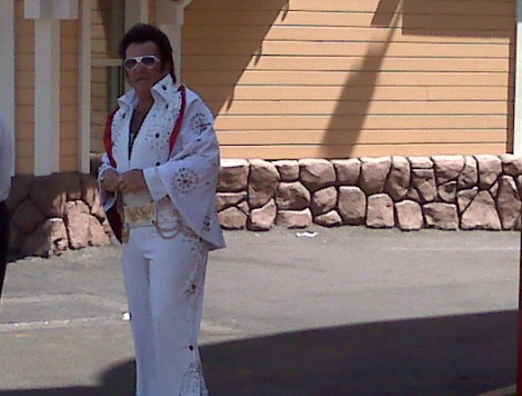
Elvis
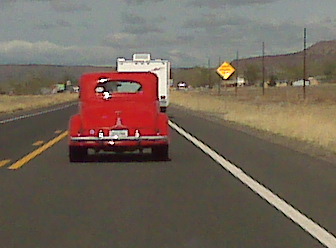
We checked out of the hotel in Williams and decided to pay a visit to the Red Garter for coffee a few blocks away. The folks running the joint told us that hundreds of classic cars that would be cruising Historic Route 66 and said we’d probably be in the middle of it all. These cars would be traveling our route before parting ways at Kingman, Arizona. They would continue on toward Los Angeles as we head north to the Hoover Dam and Las Vegas.
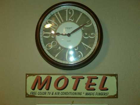
We ordered “two out of five star” coffee cake. When the Red Garter folks asked us how the renovations went at our hotel, we responded with “what year did that happen?” It was hard to believe that the hotel had been renovated in this century, as it was the worst on the trip. The magic fingers advertised in the lobby were no where to be found.
When we got to Seligman, the traffic was backed up. People lined the streets to look at all the classic cars. The town was full of nostalgic restaurants, shops, and motels. The rented Dodge Charger fit right in with all the other Detroit Muscle Cars and I’d bet money that ours was the only one sporting an authentic bullet hole.
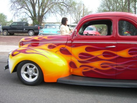
Between the actual towns of Seligman, Peach Spring and Kingman, Route 66 was nice but barren. If pressed for time, you could check out just the towns and hop on Highway Route 40 instead of Historic 66. It’s a more direct route and you really wouldn’t miss anything except for the classic Burma Shave signs along the way. They had clever sayings such as:
– If Daisies are…
– Your favorite flower…
– Keep pushing up…
– Those Miles Per Hour.
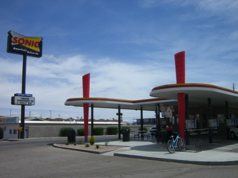
Since we were traveling Route 66, we wanted to have lunch at a drive in. The best we could do was to try a Sonic in Kingman right off the highway. When I voiced my concern about eating in the Charger and having to endure the wrath of Yolanda in a few days, I was reminded that she’s probably not a morning person, and goes directly to her night job on the streets at 10 pm when she completes her shift at Fox Car Rental. The Sonic bathrooms were absolutely filthy, in case you were wondering. We were not impressed and were glad that we didn’t go out of our way to get there.
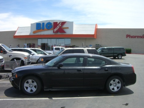
We went to Big KMart to get some money and then we were on our way to Las Vegas via Route 93.
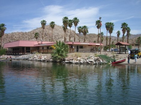
A few miles before the Hoover Dam, the landscape along Route 93 becomes more rugged. We saw a sign for the National Recreation Area so we followed an access road three miles all the way to Willow Beach on the banks of the crystal clear Colorado River. There was a beach, a boat launch and a lot of palm trees. Very unusual to see this the the middle of the desert. We got ice cream in the store and the cashier told us that the actual visitors center was located on the other side of the Hoover Dam. She reported the trip across the dam was currently taking 1.5 hours. It was wicked hot, unlike the time we spent at the Grand Canyon yesterday.
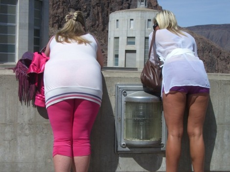
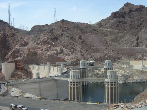
We returned to route 93, stopped at the police checkpoint and crossed the dam. Although the crossing only took an hour, it didn’t seem that long because of all the lovely sights.
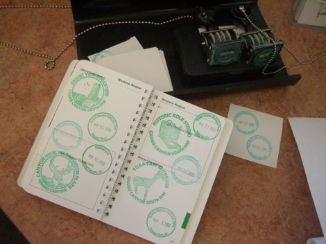
On the other side of the dam, we stopped almost immediately at the Alan C. Bible Visitors Center where I got two more stamps for the passport. One was for the Old Spanish Trail, Boulder City Nevada, and the other was for Lake Mead National Recreation Area. My younger sister is going to be green with envy, as I have so many stamps from this trip that I have lost count.
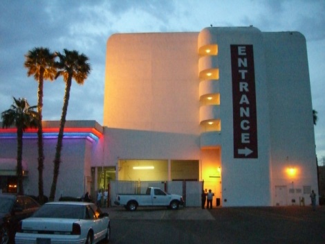
We drove through Henderson, Nevada, passing miles of identical-looking houses. There was a huge casino on the side of the hill that advertised $7.95 steak dinners and $1.00 Strawberry Shortcake. Had I been the driver, the strawberry shortcake deal would cause me to slam on the brakes. We kept going and stopped at a 7/11 convenience store where we signed onto the laptop and tried to book a hotel room on Priceline.com. No luck, so we called a few hotels directly. The Railroad Pass Casino offered rooms for $69.00, easily half the price of the cheapest room we could find elsewhere. We obediently followed the directions provided by Vivian, the warm voice from the GPS. Would you believe, she guided us right back to the same place that was offering $1.00 portions of strawberry shortcake? As you can see below, the biggest challenge was trying to locate the entrance to the building. The signage was very confusing.
We checked in, lost a couple of dollars in the slots and then made a beeline for the buffet. This was a far cry from the Golden Corral and it’s a shame that Carolina and Oscar weren’t here to whip these people into shape. And, come to think of it, I never did see the strawberry shortcake. First the Magic Fingers, and now the Strawberry Shortcake? I was “this close” to calling the Better Business Bureau.
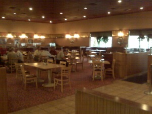
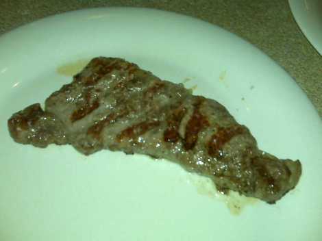
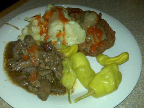
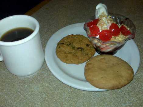
Immediately after dessert, we thought it would be fun to return to the slots to watch our money disappear. After losing three more dollars, I called it quits. I am convinced this is what the phrase “what happens in Vegas, stays in Vegas” really means. (Incidentally, I can’t figure out what is going on in the picture below. It appears that the cashier is picking up silver dollars with paper currency.)

Thanks for reading… tomorrow we get to hang out with the locals!
We left Holbrook, Arizona, after a breakfast of Kellogg’s Froot Loops at the Ramada Inn. Heading west on Hwy 40 toward Flagstaff, we came across this wonderful gem: The Geronimo Gift Shop.
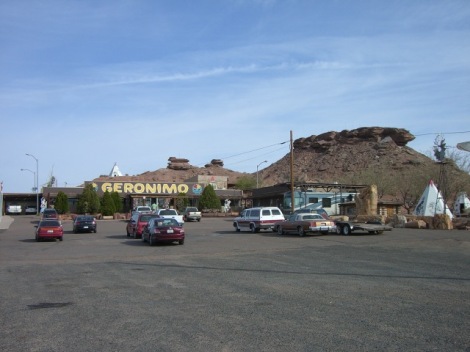
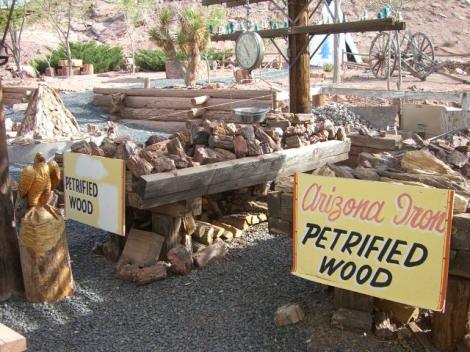
This was a typical Northern AZ souvenir shop, full of rocks, Navajo Blankets, Indian trinkets, and petrified wood for the bargain price of $15 a pound.
What set this place apart was the enchanting Tee-Pee village just outside. The desert was rather flat in this area, and it seemed like each exit had its own souvenir shop. “The Jack Rabbit” looked like it could be interesting too. The San Fransisco Peaks were coming into view the closer we got to Flagstaff.
Our second stop was Walnut Canyon National Monument where we spent about 5 minutes. We got the Passport to Your National Parks cancellation stamp and viewed the ruins at the bottom of the canyon from the Visitor’s Center window.
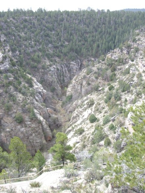
This monument is definitely worth a return trip to explore the trails in the canyon. There were many pine trees here and it was more mountainous than the terrain near the Petrified Forest.
We saw our first big box stores since leaving Maine. There was a Best Buy and a Home Depot right across the railroad tracks from the Purina Dog Food Factory which we could smell as we were driving by. There was also a shopping mall and a Sears.
We headed north on Route 89, elevation 7200 feet and climbing. We took a detour on NF 545 to Sunset Crater National Monument continuing toward Waputki National Monument. We got information and a passport stamp from the visitors center. The lava flows from the valcano that blew its stack 1000 years ago were amazing. There were many yellow wildflowers growing out of the volcanic ash.
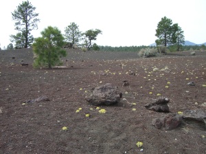
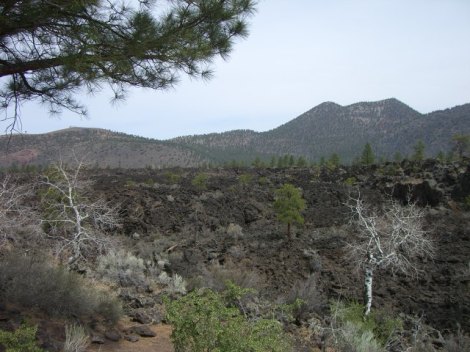
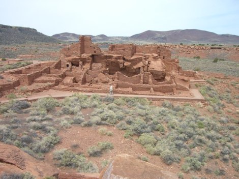
At Watupaki, we stopped at the visitors center for stamp #24. We explored the pueblo, which was built right into some rocks within a mini canyon (not against the canyon walls like the other ruins we have exporered). There were two circular ball fields, and a blow hole, which looked like a small well with air escaping. (The cave underneath actually breathes… air goes in and out of the cave depending on the outside pressure.)
We stopped for gas in Cameron at a place that looked like a refurbished Dunkin Donuts. The woman at the Walnut Canyon visitors center recommended stopping at the trading post in Cameron for lunch, but we decided to head directly to the canyon instead by turning on Hwy 64. Maybe next time.
Before long, there was a turn off for the Little Colorado River overlook. The Navajo indians charged $3.00 a person, so we did a u-turn and headed back on the road the Grand Canyon. We stopped off at another turn off to check out the things that the Indians were selling to tourists. One woman claimed she loved Maine, and her daughter went to college there (but she didn’t know the name of the college).
We arrived at the Grand Canyon at 1:00 Sharp. We had lunch at a snackbar at the Desert View Overlook and got a stamp for the passport. This is where I learned that there are SIX stamps for the South Rim of the Grand Canyon. We then got our first view of the canyon. We explored the tower, which was actually pretty cool, but was full of busloads of screeching tourists. Before leaving, I walked along a trail for a moment and was amazed how quiet and peaceful it was, away from the madhouse at the observation tower.
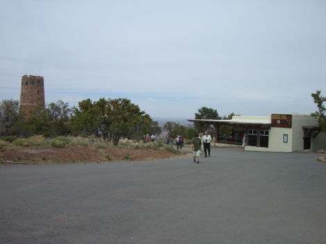
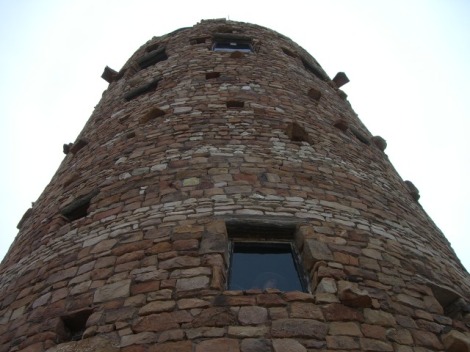
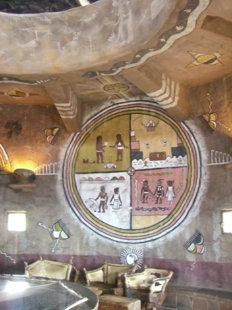
The view from the top of the observation tower.
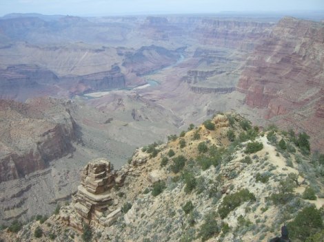
We visited a few of the turnoffs and it was quieter at these places. GrandView was pretty crowded though. We checked out El Tovar, Bright Angel Lodge, and the other visitors centers.
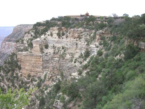
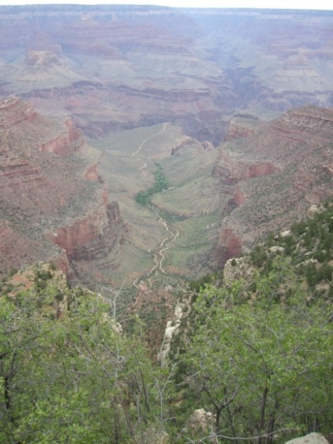
The next time I visit, I would leave the car behind and take the buses. It was a little too crazy for my tastes, but it was possible to find benches and space away from the crowds. This visit was definitely an accelerated visit. I would love to come back when I have more time and even hike to Phantom Ranch. I reminisced riding the dory under the bridge for the Bright Angel Trail many years ago.
It looks like the total for National Park Passport stamps will be a whopping 32 for this vacation alone!
Leaving the park, we headed down Route 64 and saw elk and mule deer. This route was a lot more lush than the route we took arriving into the park. Just outside the park entrance are hotels, an IMAX Theater and an airport with dozens of helicopters to take tourists on canyon sightseeing tours. There are also hotels at the junction of 64 and 180.
When we got to Williams, we saw the depot for the Grand Canyon Railway, as well as other 1950’s style hotels, diners and shops. (This is historic Route 66… a lot of neon and flashing lights)
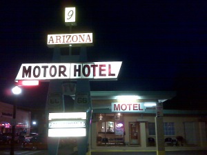
After checking in at the Arizona 9 Motor Hotel, we headed down the street to “Cruiser’s Cafe Bar and Grill”.
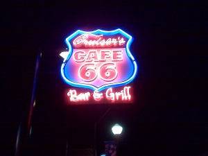
They featured outdoor seating and a live band, complete with a gal jamming on the drums with a huge flower in her hair. She looked just like Neicy on the TV show “Clean House”. People were tootin’ their horns as they drove by.
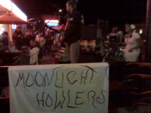
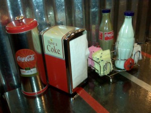
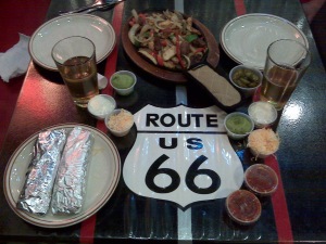
What an awesome day… After seeing a natural wonder of the world, two National Monuments and driving 275 miles, winding up in a place like Williams was icing on the cake.
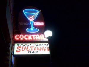
Ok your regular blogger is, ummm .. sleeping. We had another 300 mile day. We were able to visit two national monument sites and along the way were able to pick up a lot more memories. Your regular blogger will update this site soon. Stay tuned to learn about the Navaho people, the cows and horses that run freely in the streets and the sad story of the man who lives at the A&W rootbeer place. Thank you for your comments and suggestions…….
<< Editor’s note: please click here for an alternate interpretation of today’s events >>
Greetings from the 4 corners region of the American Southwest.
We left Cortez, Colorado, and spent the day at Mesa Verde National Park. Once in the gate, we drove half an hour along the mountainous park road.
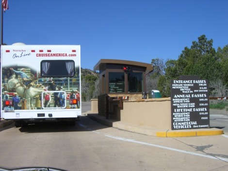
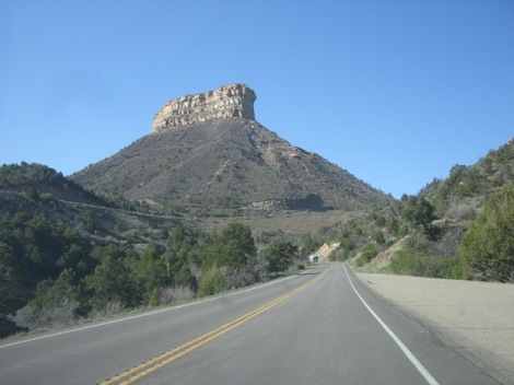
At the Montezuma Valley Overlook, Paul channeled the spirits of his Native People. You could see for miles all the way to the snowcapped mountains. We checked in at the visitors center and got the passport stamp, and purchased tickets for the cliff dwelling tours. We drove the rest of the way into the park and spent about 5 minutes at the museum before heading to the meeting area for our tour.
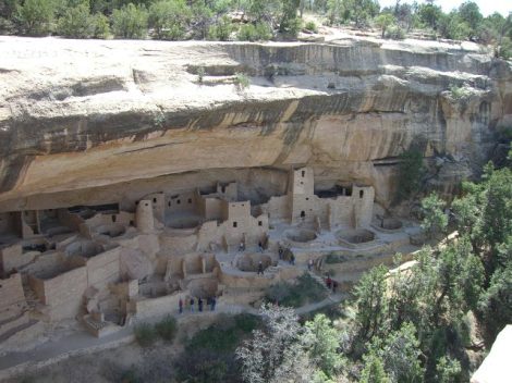
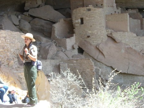
Ranger Rebecca met the group and gave everyone the rundown of what was to be expected. There were ladders and rock steps to gain access to the dwelling called Cliff Palace. She was very knowledgable and informative. Paul, who is one 18th MicMaq Indian, disagreed and said that only 10 percent of her presentation was factual.
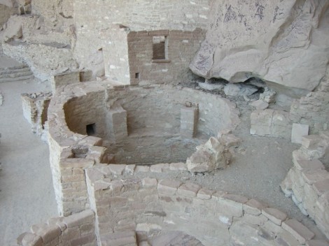
For example, Rebecca said that the kivas shown below were used for ceremonial purposes. Paul claimed that the entire complex was actually a government center and the kivas served as a communication tool. His people sent smoke signals from the kivas to relay the message “Send Taxes”.
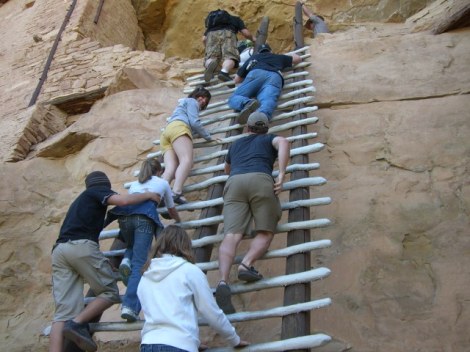
When the presentation was over, it was time to climb the five 10-foot ladders out of the dwelling.
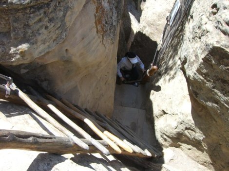
I decided to take an additional tour of Balcony House. This tour featured a 30 foot ladder to access, and a 12-foot tunnel to squeeze through and several other ladders to exit.
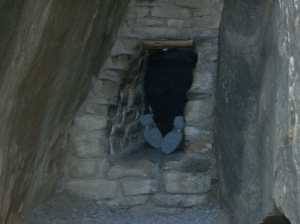
The picture below shows the only way out of Balcony House. These are the feet of the visitor in front of me.
After this tour, we drove toward Canyon de Chelly National Monument so that we could tour more ruins tomorrow. We headed on Route 160 toward the four corners monument (this is where CO, NM, UT and AZ intersect) We drove on a short dirt road to the gate where we saw $3.00 per person admission. The place was surrounded by a huge chain link fence and it would have made Yolanda from Fox Car Rental proud.
We snapped a quick photo, did a u-turn, and got out of there.
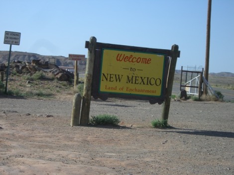
Thirty seconds later we were in Arizona. At Teec Nos Pos, we tried to call for hotel reservations to no avail. We decided to change course due to what appeared to be a lack of lodging options in the direction we were heading. Instead, we headed back into New Mexico to stay in Farmington, the closest city.
Northern New Mexico seemed like “no man’s land”. There were posted “safety corridors” where headlight usage was required, and speeding fines were doubled. (But it seemed like we were the only ones following the rules by any stretch of the imagination.) There were several pawn shops and souvenir shops claiming to be “Navajo traders” along this stretch of road.
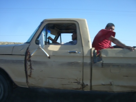
Cruising through the "Safety Corridor" at 70 MPH
We left the Navajo Nation and arrived in Farmingon, New Mexico. Several creative figures greeted us at the hotel.
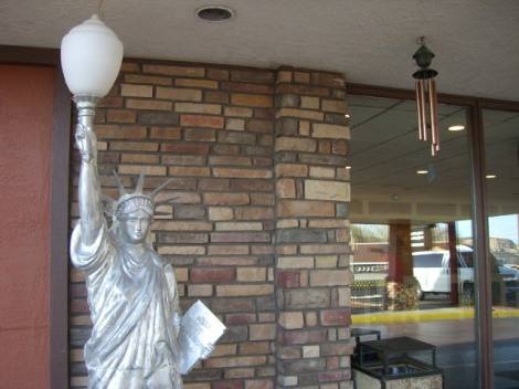
America's Best Value Inn
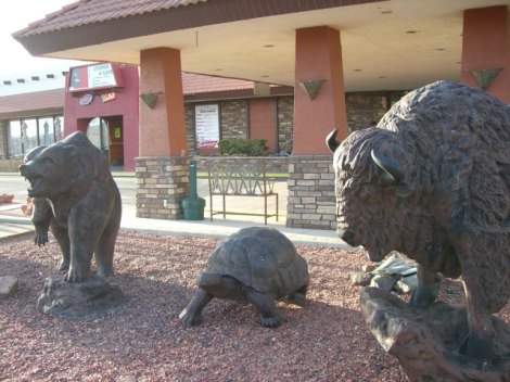
My personal favorite was the Grizzly/Bison/Tortoise combo standing guard.
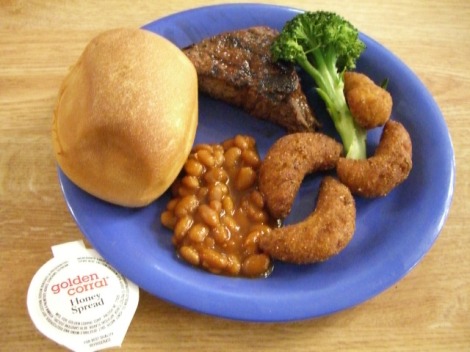
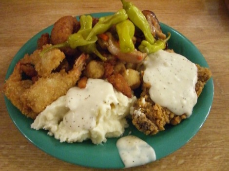
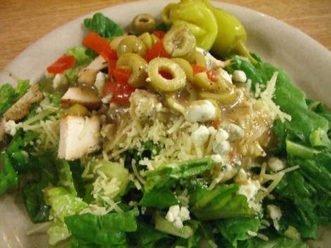
Since we were in the wild west, we appropriately chose to dine at the Golden Corral all you can eat buffet.
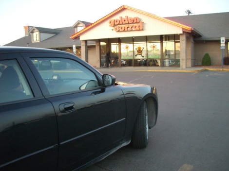
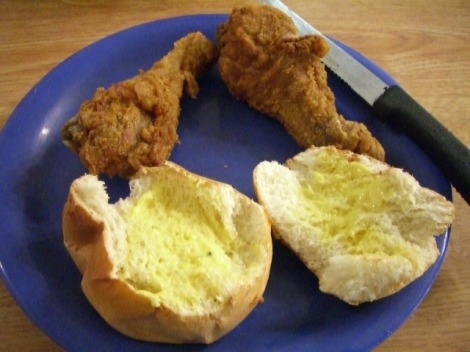
The manager, sensing that we were new to the buffet experience, gave us an orientation tour and explained in excruciating detail the wide variety of offerings. She introduced us to Carolina, our efficient and very capable server, who didn’t hesitate to recommend the fresh dinner rolls from the bakery area.
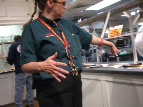
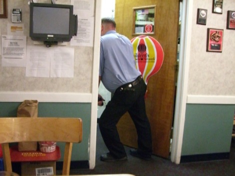
Local Law Enforcement - on standby to handle any disreputable persons.
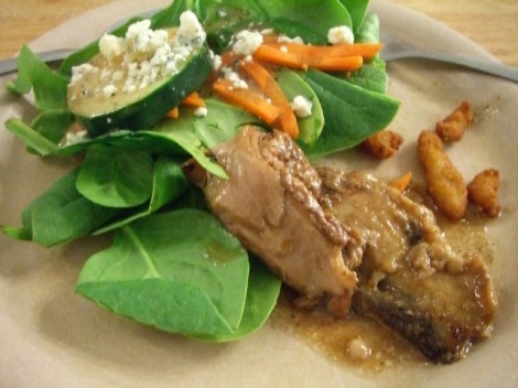
Check out what can be had for 25 bucks: dinner for two including beverages and a mouth-watering steak expertly prepared by Oscar behind the grill.
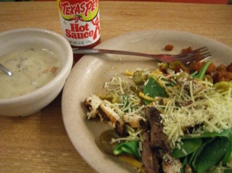
The Colonel has some competition!
This was an exciting day for a leisurely 170 mile journey. In addition to adding another National Park to our list, New Mexico becomes my 45th US state. I only have 5 more U.S. states before I get all 50. Please check out the links below to learn more about this fascinating national park.
Mesa Verde National Park Visitors Guide
Mesa Verde National Park Website
Tomorrow we are heading (again) to Canyon De Chelly National Monument and then on toward Las Vegas. We are running out of time and need to cut a few corners. Unfortunately we had to remove Chaco Canyon National Cultural Site from the list due to timing and having to return the rental car in one piece. The site is a 30-mile journey on a dirt road and knowing Yolanda would be greeting us at Fox Rental in Las Vegas again, we are probably pushing our luck.
Our updated itinerary offered lots of surprises and you can read about it by clicking here.
One of the rules of this trip was “no eating at chain restaurants”. I have heard that rules were made to be broken. So, after a hearty breakfast Grand Slam at Denny’s we backtracked north of Moab to Canyonlands National Park.
Unlike the other parks, the main road here is rather dull. When you get out of your car, that all changes. From those viewpoints, there are amazing canyons as far as they eye can see. You would never know it as you are driving in on the main road.
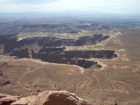
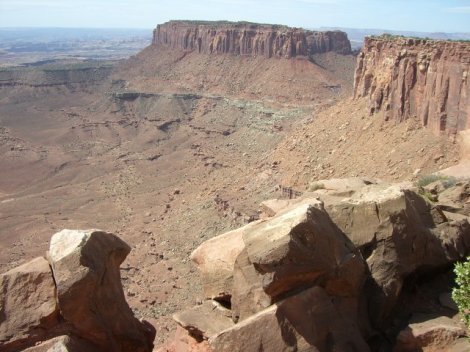
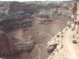
The road shown below was used by ranchers to herd their cattle to the bottom of the canyon
After checking out all the viewpoints, we exited the park and headed south again toward Moab.
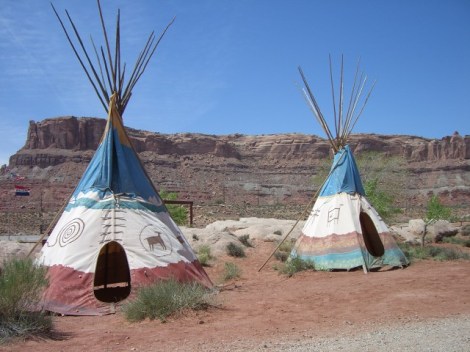
After filling up the gas tank at a station that had these awesome tee-pees we continued on toward Arches National Park.
The two parks are practically across the street from each other. We checked in at the visitors center to get a standard passport cancellation stamp, and much to my surprise, a bonus stamp as this is part of the Spanish Heritage Trail.
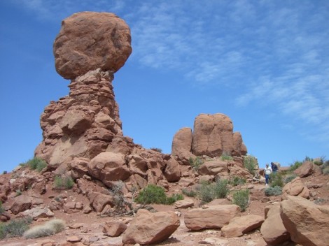
We watched the excellent presentation in the auditorium, which was literally a television episode from the Discovery Channel about the two parks in Moab. One of the rangers gave me some great advice when I mentioned we were pressed for time. First stop was Balanced Rock. It’s only a matter of time before this comes crashing down.
At the Windows area, I dodged all the tour bus groups and took several pictures. The double arch below is about a half mile away.
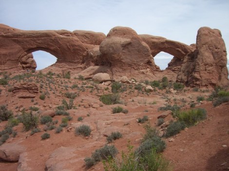
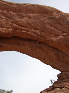
The man in the picture below is standing inside one of the double arches that is shown above on the left hand side.
In an effort to save time, we decided to skip the rest of the park. We had a long way to go to make our final destination. I will definitely be back. It would be great to explore the hiking trails and to see Landscape Arch. It’s the largest arch in the world, as long as a football field. It’s not expected to be around much longer, as a huge chunk fell from it not too long ago and it’s very thin.
We left the park looking for bighorn sheep, to no avail. We drove through Moab and broke our no-eating-at-chains rule by stopping at McDonalds. The verdict is still out on Moab. I was expecting something different, but the main drag seemed like Route 302 in Windam, Maine. (The Walmart part of 302). The stretch through here was the first eyesore since we left Las Vegas 5 days ago. There were a lot of mountain biking and outdoor adventure shops, but it seemed more like folks were into Cabela’s and 4 wheeling.
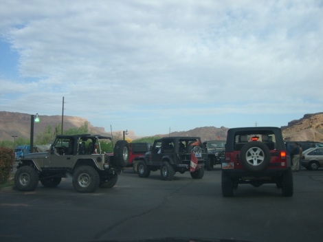
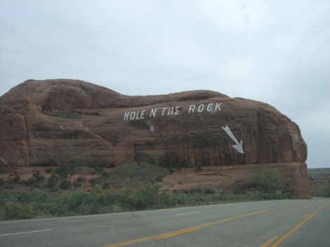
Aside from passing “The Hole n” The Rock”, we ended up in Monticello 60 uneventful minutes later. At that point we decided to head east to Cortez, Colorado. Almost at the state line, the fields were much greener.
We had a steak dinner at a place called Shiloh’s, recommended by the associate at the desk at the hotel.
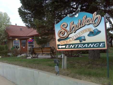
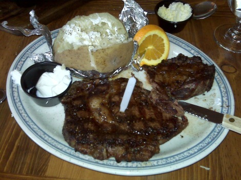
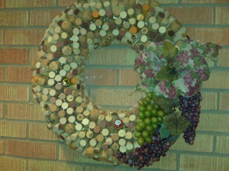
Shiloh’s Steakhouse was a great recommendation and the food was delicious. The furnishings and decor were quaint and make you feel really comfy. I wondered how long it took Granny Shiloh to finish off these bottles of wine to create this clever wreath.
(Debbie, if you are reading this, I can only imagine what you are thinking about today’s meals: McDonalds, Steak and DENNY’s?)
More info can be found by clicking the links below:
Welcome to Arches National Park
Tomorrow is going to be a great day, as we explore the Pueblo ruins at Mesa Verde National Park in Cortez, Colorado. Click here to read all about it.
Today was a very long 300 mile day, and I probably averaged 20 pictures per mile.
We were out the door at sunrise. We walked along the Bryce Canyon Rim Trail to see the glowing Hoodoos once again. I ventured down the Queen’s Garden Trail and hiked part of the Peekaboo Trail toward the bottom of the canyon. The trail surface was very smooth and full of switchbacks, which made it easy going.

There are no boulders in the way or rocks to hop, unlike the New England trails which head straight up the mountains.
 Just after the junction of the two trails there are three small tunnels that allow you to pass through the Hoodoos.

This was the most enchanting trail. Everything was perfectly still and you couldn’t hear a sound. No wind, no people, not even a bird chirping.

Around 10:00, we checked out of the cabin and headed east on Route 12. This goes right across the northern end of the park which provided gorgeous views. This route is a designated US Scenic Byway (it’s not just a “state” thing). The route weaves in and out of the Dixie National Forest and the Grand Staircase – Escalante National Forest. Every 10 minutes the scenery dramatically changed, from pine covered mountains, canyons full of hoodoos, and landscapes that looked like the Badlands of South Dakota. There was even a “controlled burn” forest fire. We stopped at a visitor center in Cannonville to get the passport stamp and to mail postcards. At the post office, it seemed like we were the only customers that day. The building served as the Post office, Town Hall and Health Clinic rolled into one. There’s nothing better than a postmistress who can multi-task.
About 35 miles later, the Ranger at the Escalante Visitor Center recommended a place called Georgie’s for lunch. You can’t miss this place. The building was bright yellow, with a multi-colored picket fence and an enormous Tee-Pee in the front yard. We pulled into the gravel lot on the side and could see right in the back door. Georgie herself bounded down the steps and suggested some other places, as she was closed for the day. Monday was her baking and delivery day.
We drove another 10+ miles and saw a sign on the side of a hill identifying the Kiva Koffee House, which incidentally was recommended by Georgie. We entered the driveway and initially couldn’t tell where the building was. When we got out of the car and walked down the stairs, we could see the crescent shaped building that was built into the side of a cliff under the parking lot. It had the most awesome view of the multi-colored cliffs on all three sides.


It had a very limited menu, but it was great to sit down and take in the remarkable view. A soft-spoken bohemian woman took our order and lunch arrived.
At Torrey, Utah, we took a left on Highway 24 and stopped at the County Visitor’s Center. I received a lot of great advice here on the area from the woman working behind the desk. Back in the car, we approached spectacular Capitol Reef National Park within 10 minutes. We stopped at the National Park visitors center for the 3rd and final passport stamp of the day. We drove along the 10-mile scenic road following the “water pocket fold” which is an enormous 100 mile long crevass that cuts through the park and beyond.

It looks like the Earth decided to flip inside out and then turn to stone. After 10 miles, the pavement ended and we continued on the gravel for another mile, as recommended by the woman at the Torrey Visitors Center. This is where the most dramatic scenery could be found although the road was a little rough. Yolanda from Fox Rental would not be happy if she knew what challenges we put the Dodge Charger though on this road. There were a few bumps and several vengeful tumbleweeds rearing their talons as we made our way this area. (If that car can survive a gunshot wound, it can certainly survive a few pot holes and dried out old bushes.)

The fruit orchards planted along the river by the Mormon pioneers are another interesting feature of Capitol Reef. The National Park Service maintains the orchards and historic buildings. The area along the river was an oasis of green fruit trees against an arid and unforgiving landscape.

We continued on scenic route 24 all the way to Hanksville, passing a few tiny towns. Fortunately we hadn’t planned to spend the night along here anyway, as it looked pretty desolate. We then headed north on Route 24 and you could see the road straight ahead stretching for miles. This was a big change from the twisting 150-mile long Escalante roller coaster we had spent the majority of the day traveling.
We took Hwy 70 East to 191 South to Moab, passing the entrances to Arches and Canyonlands National Parks. We’ll visit those parks tomorrow.
We found a hotel in Moab and then went downtown to an Italian restaurant.
Today was a very long and extremely rewarding day. I highly recommend a trip on these scenic roads to anyone, as they are truly unforgettable.
Check out the links below for more information:
Grand Staircase – Escalante National Monument
Capitol Reef National Park – information about the Waterpocket Fold, the early mormon settlers in Fruita, and flash floods.
Click here to read about tomorrow: our final day in Utah and our journey into Colorado.
We woke up and left the Terrace Brook Lodge.
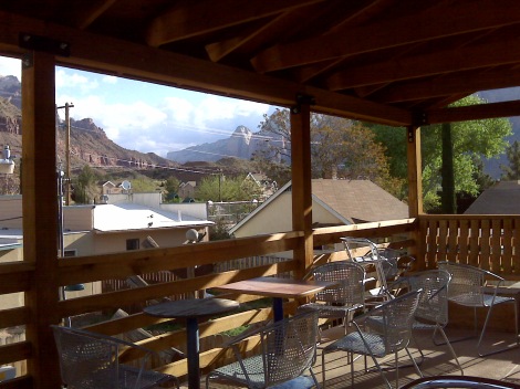
We had coffee and muffins/bagels at the Mean Bean coffee shop. The Bohemian serving us was friendly and efficient, and the atmosphere was interesting, but the food tasted.. um… old. There was an upper deck which afforded us a great view over the rooftops of Springdale all the way to the cliffs of Zion. We didn’t stick around long because it was cold and windy, and we had a full day of exploring ahead.
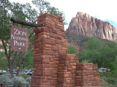
We then drove right up to the National Park entrance, flashed the Access Pass, and then boarded the shuttle where our charismatic driver, Chris M., entertained and educated the passengers with his wealth of knowledge. He even brought a textbook along with pictures. He imparted his knowledge of the park wildlife, geology and history as he wisked us through the Canyon all the way to The Temple of Sinawava and back.
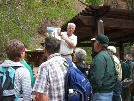
Chris M. sharing his passion of Zion National Park
The scenery was absolutely breathtaking. No pictures can do this justice. At Canyon Crossing, we decided to get off the bus and take the Pa’ Rus trail back to the visitors center.
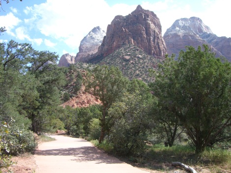
This trail follows the Virgin River, crosses it about 5 times, and winds through the campground before reaching the visitors center.
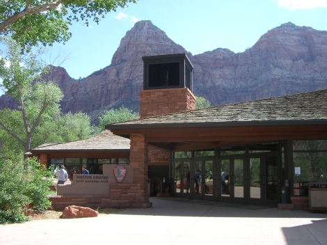
We then boarded another shuttle back into the canyon to the Zion Lodge for lunch. Our next driver, Michelle, wasn’t nearly as riveting as Chris was. She simply pushed ‘play’ on a pre-recorded message and basically ignored the passengers.
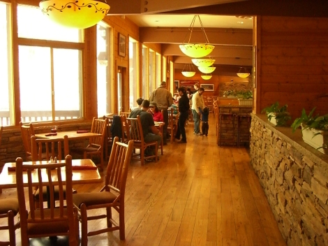
The Zion Lodge was a beauty. We ate “All American Cheeseburgers” in the dining room upstairs while enjoying the spectacular view.
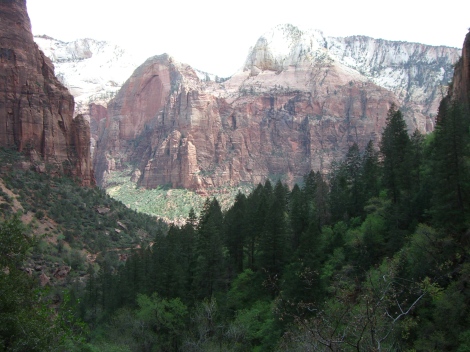
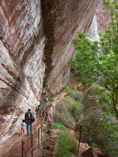
After lunch there was time to explore the Emerald Pools. I walked along the paved path to the lower pool. It reminded me of Redwall Cavern in the Grand Canyon, with a thin waterfall spilling over the top. The pavement followed the cavern and then stopped. Since I had made it this far, I thought I’d follow the trail and check out the middle pool. I was rewarded with another great view, which in turn inspired me to explore the upper (and final) pool. This was the best of the three and was surrounded by a sand beach. As I was heading back, I chatted with a lot of the other hikers. Everyone seemed really friendly.
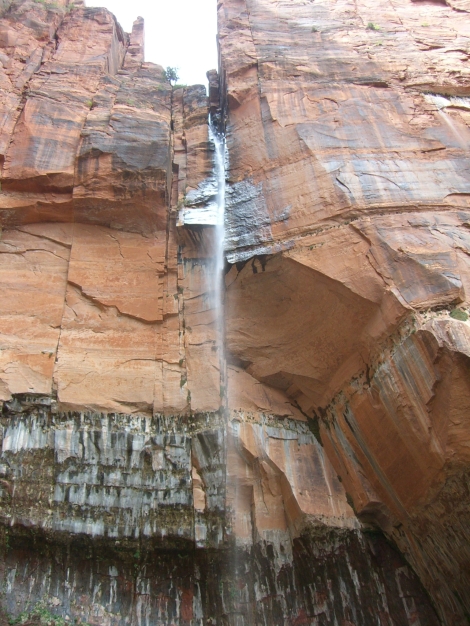
Look closely in the upper right hand corner of the picture below. You’ll see the top of the waterfall behind the tree tops.
Back at the Lodge, we boarded the shuttle and got off at the History Museum to view the park film. The cinemetography, narration and music were all really well-done, which compensated for the screaming kids in the front row of the auditorium. We then shuttled back to the main visitors center and signed up for tomorrow’s two hour “Ranger Program”, which is essentially another shuttle ride.
We returned to the car and drove back to the Thunderbird Lodge for another night. This was a good call, as the price was right, and tonight’s room was much nicer than the previous night. It was amazing how quiet this room was compared to the one we had only 4 doors down.
We went out for dinner again at the Pizza and Noodle company. Why mess with a good thing?
After dinner, I apparently had not had enough views for the day, so I took a shuttle back to the park, then transfered to another shuttle all the way to the Temple of Sinawava. It was dark when the bus made the return trip though the canyon.
Official information about Zion National Park, can be found on the Park’s website and better yet, by checking out the Zion Map and Guide.
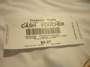
Just as we were checking out of Treasure Island, Paul decided to invest $35 in the slots. There’s an old saying about “a fool and his money”, and the proceeds of his investment can be seen below.
When I called Cedar Breaks National Monument to see if they were open for the season, I learned that the road was still closed as there was 6 feet of snow. Good thing we called ahead.
We made our escape from the Treasure Island parking garage and made an immediate left on Highway 15 heading north to Zion National Park.
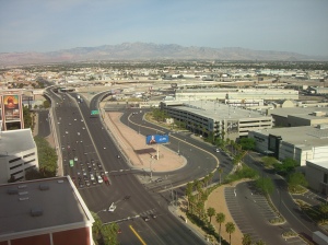
Outside of the city limits, the landscape along the way was very arid and it seemed like we were driving on the surface of the moon. The vegetation was very sparse as far as the eye could see.
Before long, we started searching for a place to have breakfast. One of the ground rules for the trip was “no eating at chain restaurants”. Because we were driving through the middle of nowhere, we thought it might be wise to bend the rules a little. (Starvation being our alternate option.) We stopped for coffee and breakfast burritos at a Jack in the Box. Since J.I.T.Bs are not found in Maine, and what we ordered had sort of a southwestern flair, we though it would still qualify as something “local”. Halfway through the so-called meal, we both thought we would have been better off sticking with the original plan of “no chains”.
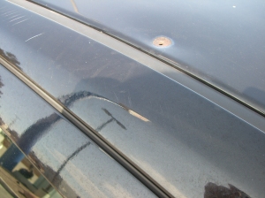
In the J.I.T.B parking lot, I took advantage of the daylight to view the damage to the rental car roof. This was a 38 caliber bullet hole, expertly identified by a former member of Cumberland County’s finest.
Back on Highway 15, we crossed into a sliver of Arizona and the highway wound through an awesome canyon for a couple of miles. It resembled Franconia Notch in New Hampshire’s White Mountains, minus the trees and waterfalls. This was a taste of what was to come for the next 2000 miles.
Next stop: Super Walmart in Mesquite, Utah, for the provisions we’d need to survive 9-plus days in remote desert conditions. We bought water, assorted drinks, snacks and sunscreen to go along with wilderness survival items we brought from Maine: a Blackberry, two cell phones, a laptop with Verizon broadband card, Motorola two-way radios and two GPS units – one for the car and a handheld, AND a Weight Watchers “Points” Pedometer. We were eager to escape to the wilderness and were now totally prepared to “get away from it all”.
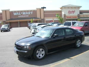
We arrived at the Visitors Center in St. George Utah in record time. A very kind and knowlegable lady gave us about 15 more pounds of brochures and recommended a place for lunch: the Bear Paw Cafe, which garnered mixed reviews. She said that we shouldn’t miss the Kolob Canyon area in Zion and recommended that we should skip the Kolob Reservoir within the National Park to save 60 miles of driving. In hindsight, this was outstanding advice as the Kolob Canyon itself was spectacular and we were already putting in a long day. The extra 60 miles would have really been pushing it.
Continuing north on 15 after lunch, we reached higher elevations and the vegetation changed, or I should more accurately say that it appeared. There were many green juniper trees in this area against red soil.
At Exit 40, there was a Zion National Park visitors center. I presented the National Park Pass which saved us $25, and got the first two (of many) stamps for the passport book.
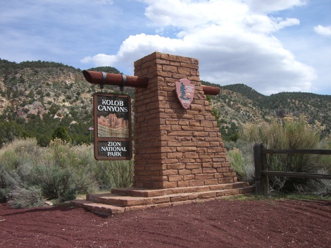
We then hopped into the Charger and drove into the Canyon on the scenic drive. At first, it was just more of the same old juniper trees. No big whoop. After about a mile we swerved around a bend and lo and behold saw a jaw-dropping view of gigantic dome-shaped rocks pointing toward the heavens. The more we traveled on this road, the more dramatic the scenery became. These are known as “Finger Canyons”.
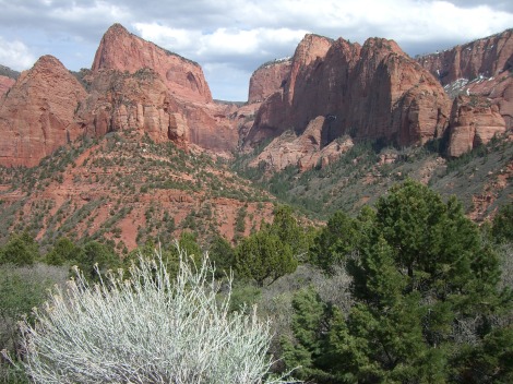
We met a couple of cross-country travelers who hailed from Waterford, Maine, practically next door neighbors. They were taking a 5-week trip tenting and living out of their car. Ah retirement!
We drove another couple of miles to the end of the scenic road and then retraced our steps back to Highway 15 heading south through the villages of Toqueville, La Verkin, Virgin and Rockville. In Rockville we banged a right on Bridge Street, crossed the iron bridge and forged ahead on treacherous dirt roads to Grafton, the Ghost Town I had read about on the Backpacker.com forums.
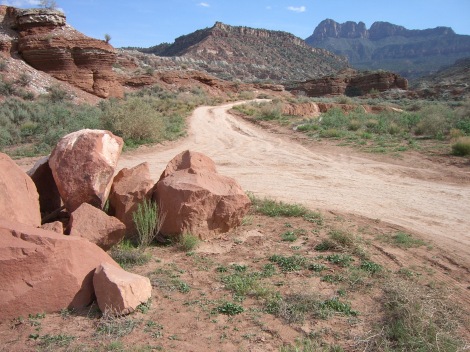
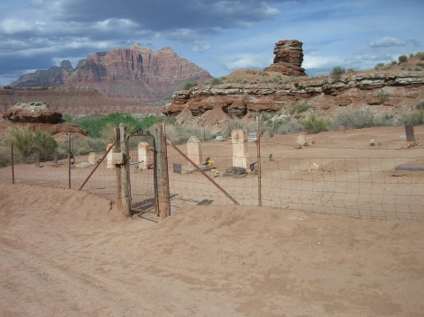
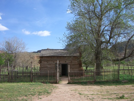
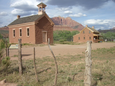
After snapping a few thousand pictures, we headed to Springdale to spend the night. Springdale has an outdoorsy, funky vibe, and has a great free shuttle system. We ate pizza and salad at the Pizza and Noodle Company and then went looking for a place to roost.
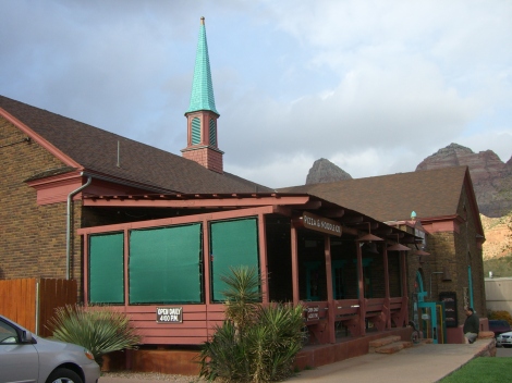
We found a room at the Terrace Brook Lodge for 59 bucks, well within budget!
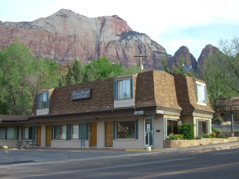
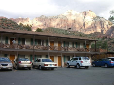
As it was getting dark, we drove as to the Zion Visitors Center to see if we could secure a spot on one of the Ranger Programs the following morning but it was closed.
On a side note, our $59 room ended up not being the most glamorous place in Springdale. The wind howled through the place like a siren and you could hear the pipes banging all night. I guess you get what you pay for.
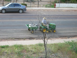
On the other hand, this did give us an opportunity to snap a picture from the balcony of our friend Barry who drove his tractor 2707 miles to greet us!
